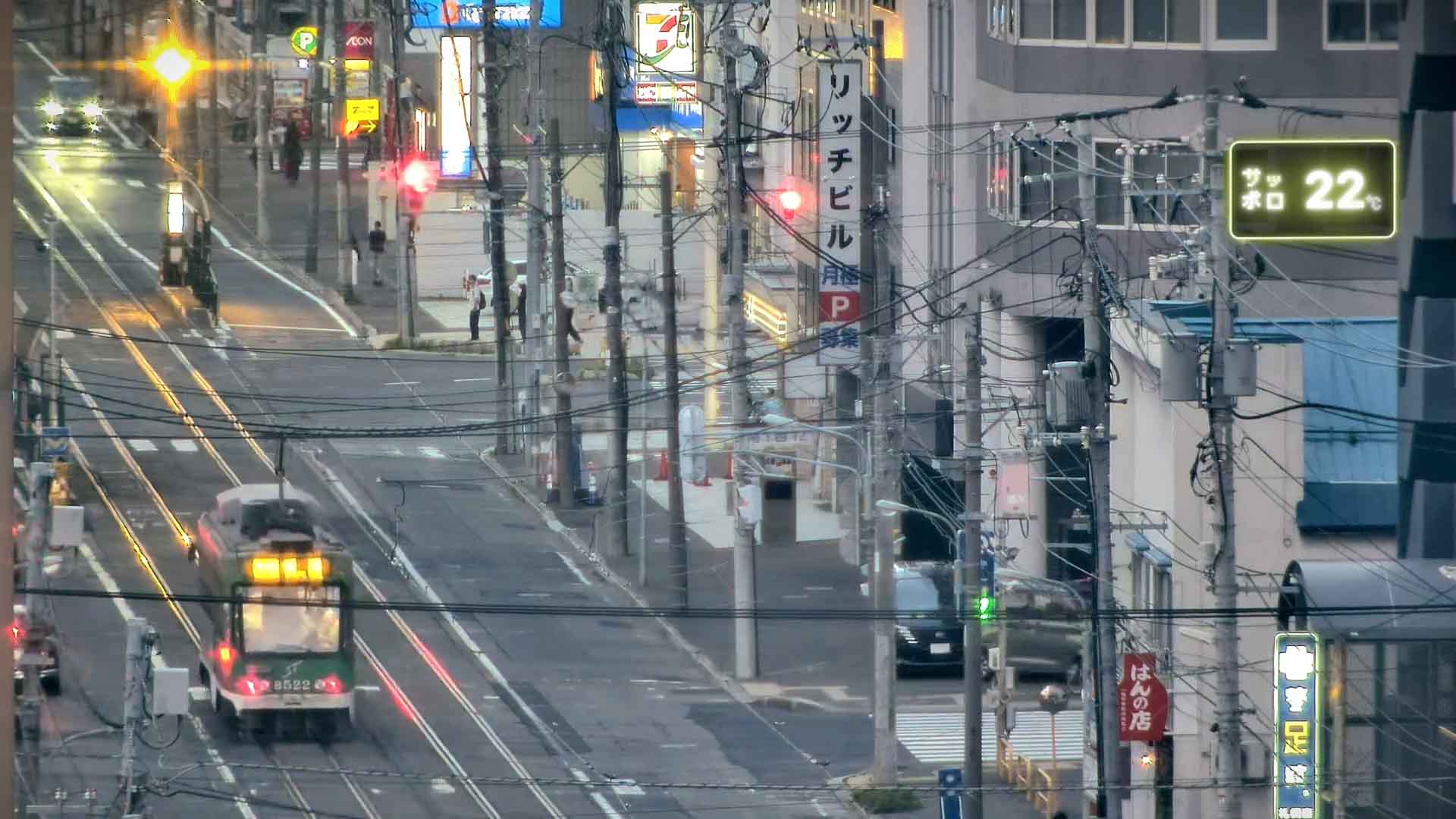
The temperature shown in neon is the current temperature in Chuo-ku, Sapporo. We fetch the data published by the Japan Meteorological Agency every 10 minutes and round it to the nearest degree. The color of the neon changes every 5°C.
This live camera is set up at the Chuo-kuyakusho-mae stop of the Sapporo Streetcar. The stop faces Minami 1-jo Street, which runs east–west just south of Odori Park. In the early Meiji era it was called "Oshima-dori" and was set as the north–south baseline when Sapporo's government headquarters were built — the starting point of the city's planning. In fact, some of the city's earliest townhouses were built along this street. Today it is one of Sapporo's busiest shopping streets, with long-established department stores and specialty shops around the Tanukikoji arcade, and in winter it sparkles with illuminations. Further west, the area from around Nishi 20-chome to Maruyama Park is known as "Maruyama Ura-sando", a stylish neighborhood of cafés and restaurants surrounded by the greenery of Hokkaido Shrine and Maruyama Park.
Ishiyama-dori (National Route 230), a main road running north–south through the west side of downtown, also passes close to this stop. It dates back to the "Honganji Road" cut in 1870 by monks of Higashi Honganji Temple, and the name "Ishiyama" (stone mountain) comes from the stone quarrying that began in the area in the Meiji era. As part of Route 230, it links central Sapporo with the Ishiyama district in the south and continues to Jozankei Onsen and Nakayama Pass — an important route connecting central and southern Hokkaido.


