Lake Shikotsu
Chitose City ・ 支笏湖
NowLake Shikotsu today3D view built from GSI elevation data and recent aerial imagery. Use the buttons at top left to view from the north, east, south or west, or drag to rotate. On phones, move two fingers up or down to tilt, and pinch to zoom.
Loading the 3D view
GSI Tiles (elevation tiles, seamless aerial photos), processed by this site.Data sources: Landsat8画像(GSI,TSIC,GEO Grid/AIST), Landsat8画像(courtesy of the U.S. Geological Survey), 海底地形(GEBCO)。
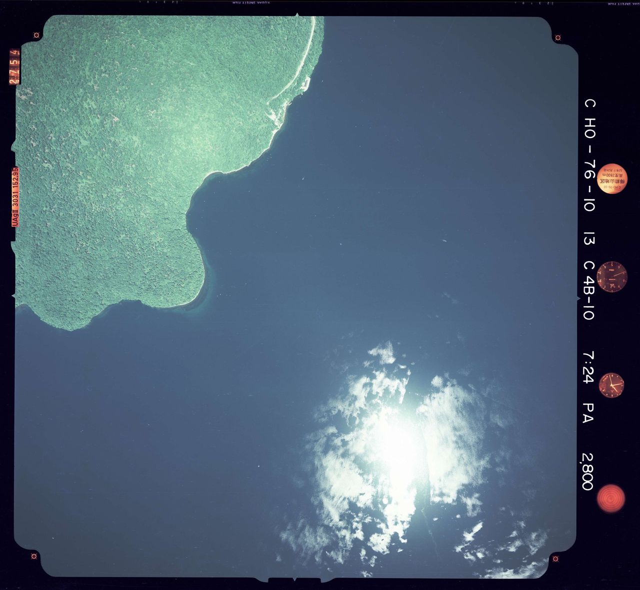
1977Lake Shikotsu in 1977Aerial photo taken by the Geospatial Information Authority of Japan, shown with the film edge and instruments intact.
About Lake Shikotsu
A lake that filled the Shikotsu caldera, formed by a huge eruption about 40,000 to 45,000 years ago. Mt. Eniwa and Mt. Tarumae are volcanoes that grew after the caldera formed. Its maximum depth of 360.1 m is the second greatest in Japan after Lake Tazawa in Akita, and it is Japan's second-largest caldera lake after Lake Kussharo. The Ministry of the Environment describes it as the northernmost lake in Japan that does not freeze over, with a distinctive deep blue surface. Its transparency in the 1991 survey was 17.5 m, among the clearest in Japan.
Sources: Japan Meteorological Agency, Caldera volcanoes (National Catalogue of the Active Volcanoes in Japan), Ministry of the Environment, Shikotsu-Toya National Park, Environment Agency of Japan, Lake Survey Report (1993) (sources in Japanese)
Lake data
- Area
- 78.48 km²#3 in Hokkaido
- Maximum depth
- 360.1 m#1 in Hokkaido
- Average depth
- 265.4 m
- Surface elevation
- 248 m
- Transparency
- 17.5 m#3 in Hokkaidoas of the 1991 survey
- Origin
- Caldera lake
- Lake type
- Oligotrophic
- Fresh or brackish
- Freshwater
- Freezing
- Does not freeze
- Natural park
- Shikotsu-Toya National Park
- Lake number
- 1010number in the national lake survey
Sources: Geospatial Information Authority of Japan, Area Statistics of Prefectures and Municipalities 2026 (as of July 1), Geospatial Information Authority of Japan, Lake Survey (surveyed 1967-1968), Environment Agency of Japan, 4th National Survey on the Natural Environment: Lake Survey Report (1993). Area and depth use newer figures from the Geospatial Information Authority of Japan where available. Origin, lake type, transparency, freezing and unmodified status are as of the 1991 survey.
Themes that include Lake Shikotsu
Nearby lakes
Nearby mountains
Nearby mountain passes
Nearby roadside stations
- Michi-no-Eki Boyo NakayamaKimobetsu Town22 km
- Michi-no-Eki Hana Road EniwaEniwa City26 km
- Michi-no-Eki Salmon Park ChitoseChitose City28 km
Straight-line distances.