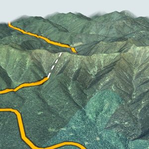
 1Mikuni Pass1,139 m · Kamikawa TownPreventive closure section
Check today’s road conditions
- Road closuresHokkaido Regional Development Bureau (in Japanese)
- Road camerasMLIT road information system (in Japanese)
- Pass informationKita-no-Michi Navi (in Japanese)
These official sites are in Japanese; your browser's translation feature helps. Each pass page has rain radar centered on the pass and links to Japan Meteorological Agency weather pages.
By elevation
- Central Hokkaido
- Southern Hokkaido
- Northern Hokkaido
- Okhotsk
- Tokachi
- Kushiro Nemuro
31 passes
No passes match. Try removing some filters.
1Mikuni Pass1,139 m · Kamikawa TownPreventive closure section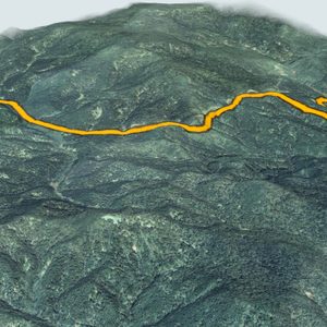 2Sekihoku Pass1,050 m · Kamikawa Town and Kitami CityPreventive closure section
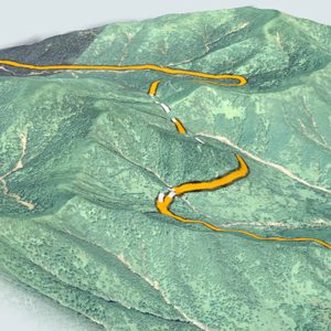 3Nissho Pass1,022 m · Shimizu Town and Hidaka TownPreventive closure section
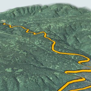 4Kitami Pass857 m · Engaru Town and Kamikawa TownPreventive closure section
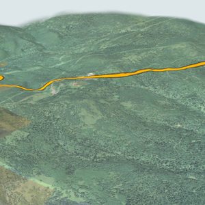 5Nakayama Pass835 m · Minami Ward, Sapporo and Kimobetsu TownPreventive closure section
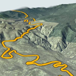 6Shiretoko Pass738 m · Rausu Town and Shari TownClosed in winter
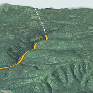 7Ukishima Pass700 m · Kamikawa TownPreventive closure section
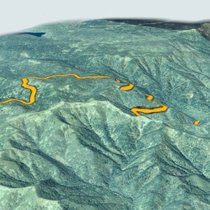 8Nagayama Passabout 694 m · Kushiro City and Teshikaga TownPreventive closure section
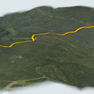 9Kenashi Pass658 m · Akaigawa VillagePreventive closure section
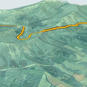 10Karikachi Pass644 m · Shintoku Town and Minamifurano TownPreventive closure section
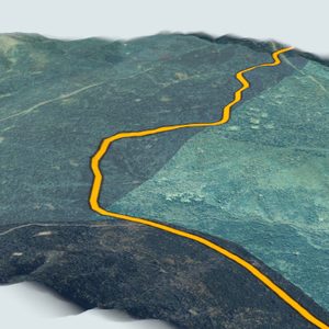 11Senpoku Pass594 m · Kushiro City and Tsubetsu TownPreventive closure section
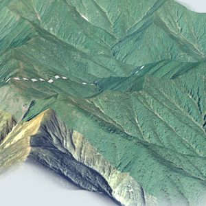 12Nozuka Pass585 m · Hiroo TownPreventive closure section
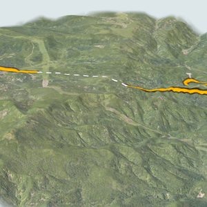 13Bifue Pass565 m · Date City and Chitose CityPreventive closure section
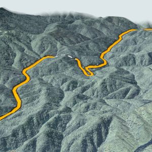 14Kanayama Pass517 m · Minamifurano Town and Shimukappu VillagePreventive closure section
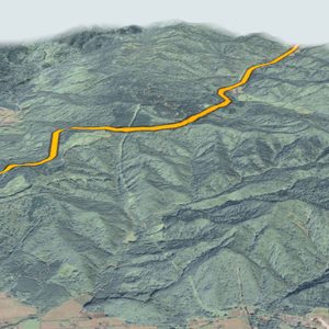 15Hidaka Pass495 m · Hidaka Town and Shimukappu VillagePreventive closure section
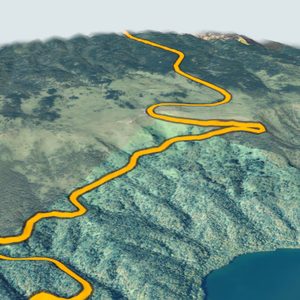 16Bihoro Pass493 m · Bihoro Town and Teshikaga TownPreventive closure section
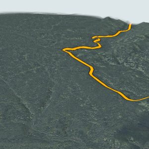 17Konpoku Pass487 m · Shibetsu Town and Shari TownPreventive closure section
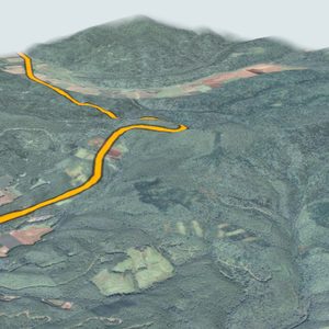 18Sannoyama Passabout 479 m · Minamifurano Town and Furano CityPreventive closure section
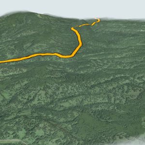 19Bifuka Pass443 m · Horokanai Town and Bifuka Town
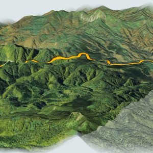 20Unseki Pass427 m · Yakumo Town
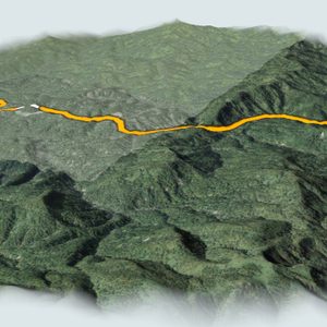 21Kiritachi Pass387 m · Horokanai TownPreventive closure section
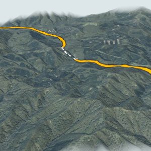 22Oshima-Nakayama Pass353 m · Hokuto City
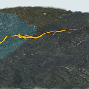 23Nogami Pass320 m · Koshimizu Town and Teshikaga TownPreventive closure section
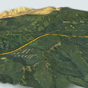 24Tenpoku Pass (Route 239)about 305 m · Nishiokoppe Village and Shimokawa TownPreventive closure section
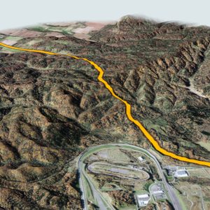 25Shibetsu Pass267 m · Shibetsu City and Horokanai Town
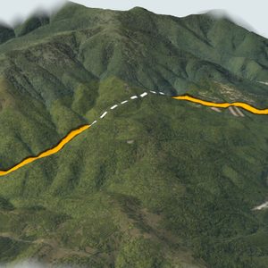 26Inaho Pass266 m · Kyowa Town and Niki TownPreventive closure section
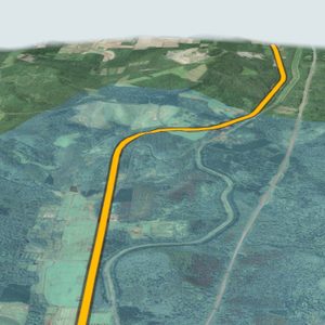 27Shiokari Pass263 m · Wassamu Town and Pippu Town
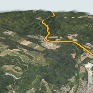 28Kutchan Passabout 249 m · Kutchan Town and Kyowa TownPreventive closure section
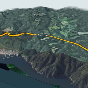 29Shizukari Pass238 m · Kuromatsunai Town and Oshamambe TownPreventive closure section
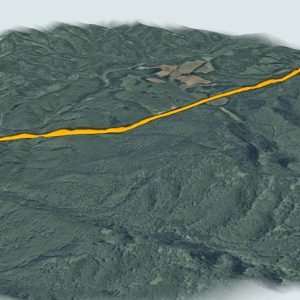 30Mena Passabout 218 m · Kuromatsunai Town and Rankoshi TownPreventive closure section
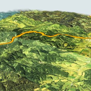 31Tenpoku Pass (Route 275)about 190 m · Nakatonbetsu Town and Otoineppu VillagePreventive closure section
About this guide
This guide covers 31 passes on Hokkaido's national routes: those the Ministry of Land, Infrastructure, Transport and Tourism (MLIT) lists as preventive closure sections for heavy snow, and those in the Kita-no-Michi Navi pass information from the Civil Engineering Research Institute for Cold Region.
Elevations are from Kita-no-Michi Navi where available; for the others they are calculated from GSI elevation tiles and marked "about". Pass locations come from the names on GSI Maps and road lines from OpenStreetMap.
This is not a driving guide. In winter, weather and road surfaces on mountain passes can change within hours. Check the official road and weather information before you set off.